Okay, now where were we?
Oh yes, we just hiked into Massachusetts.
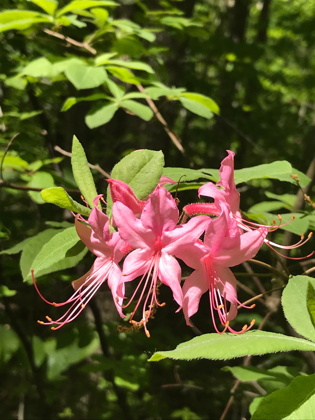
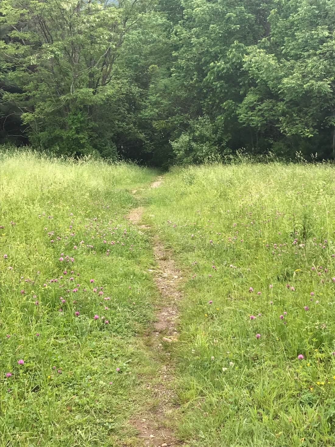
There are signs as we cross the boarder that tell us we’re going to be seeing some of the largest varieties of endangered plants along the Appalachian Trail. It was really interesting to see new plants right off after crossing into MA. The mud definitely began to lessen, which was a sigh of relief. It was very interesting seeing the changes as we hiked on.
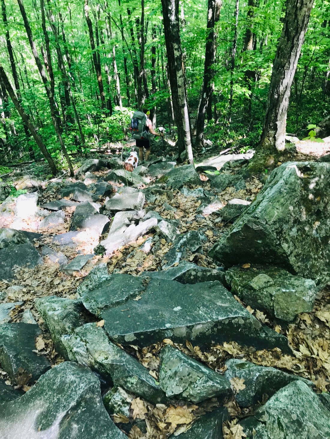
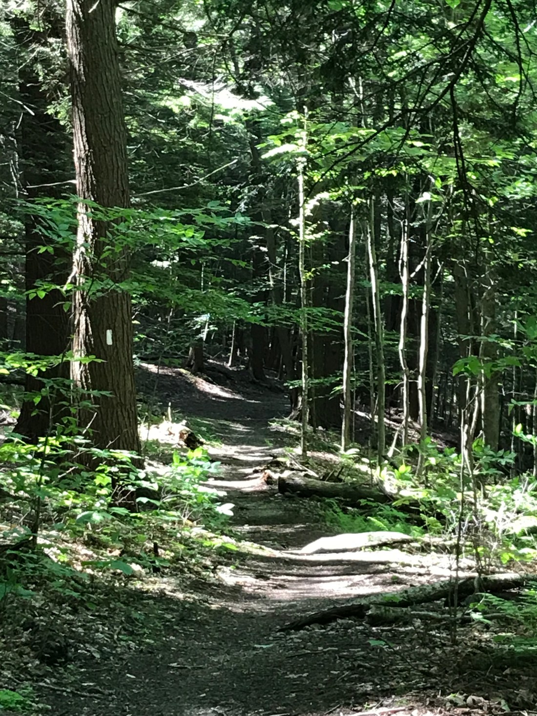
The forest seems to be more open with less old oaks and maples trees. We did however notice a lot more rocks to navigate though. We’re close to the campsite we intend to stay at for the night and have a challenging decent down a steep hill with a rock slide.

We’re grateful to arrive at the tent site with a nice wooden platform to call our own for the night. The weather is dry so we gather sticks to have a fire.
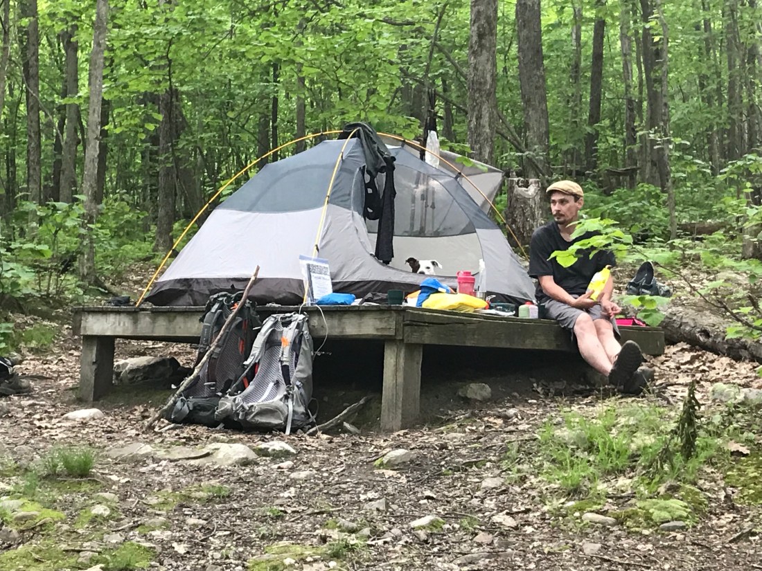
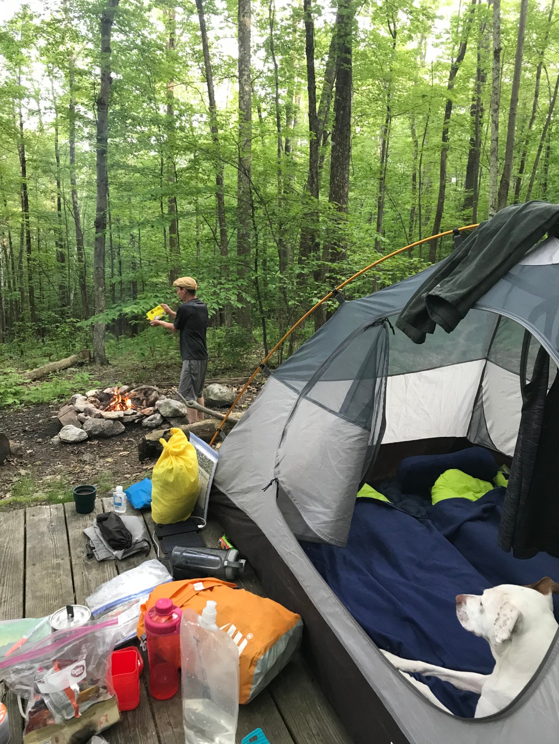

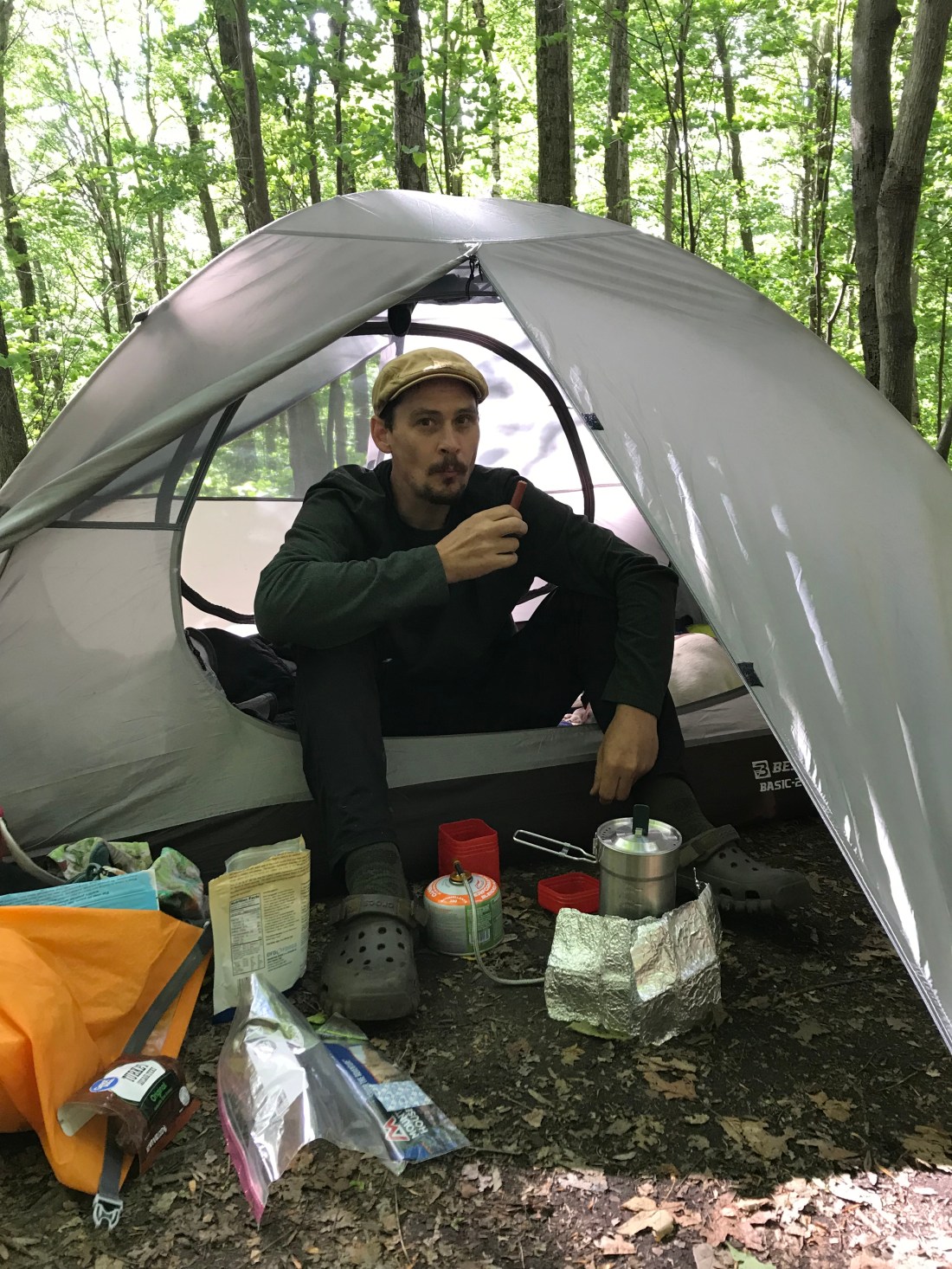
We make dinner and relax to the fire.
This is what makes all the hard work worth it.
As we sit there and stare into the fire we look over from our campsite and watch a doe walk down the hill near us. She sees us and isn’t bothered. We feel at one with nature.
We haven’t really seen anything for animals with Meadow with us. They can smell her and don’t come near. I don’t mind that helping us with the bear encounters though. We seemed to be downwind from the direction she was coming from, so we got lucky. It was a great night and we slept really good!
The next morning we had coffee and breakfast and headed on our way down and into the outskirts of North Adams. I always like starting the morning hiking down and not straight up.

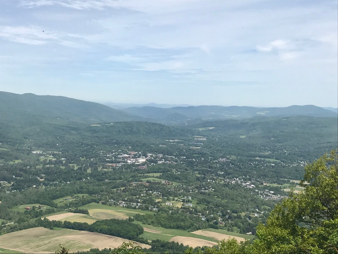
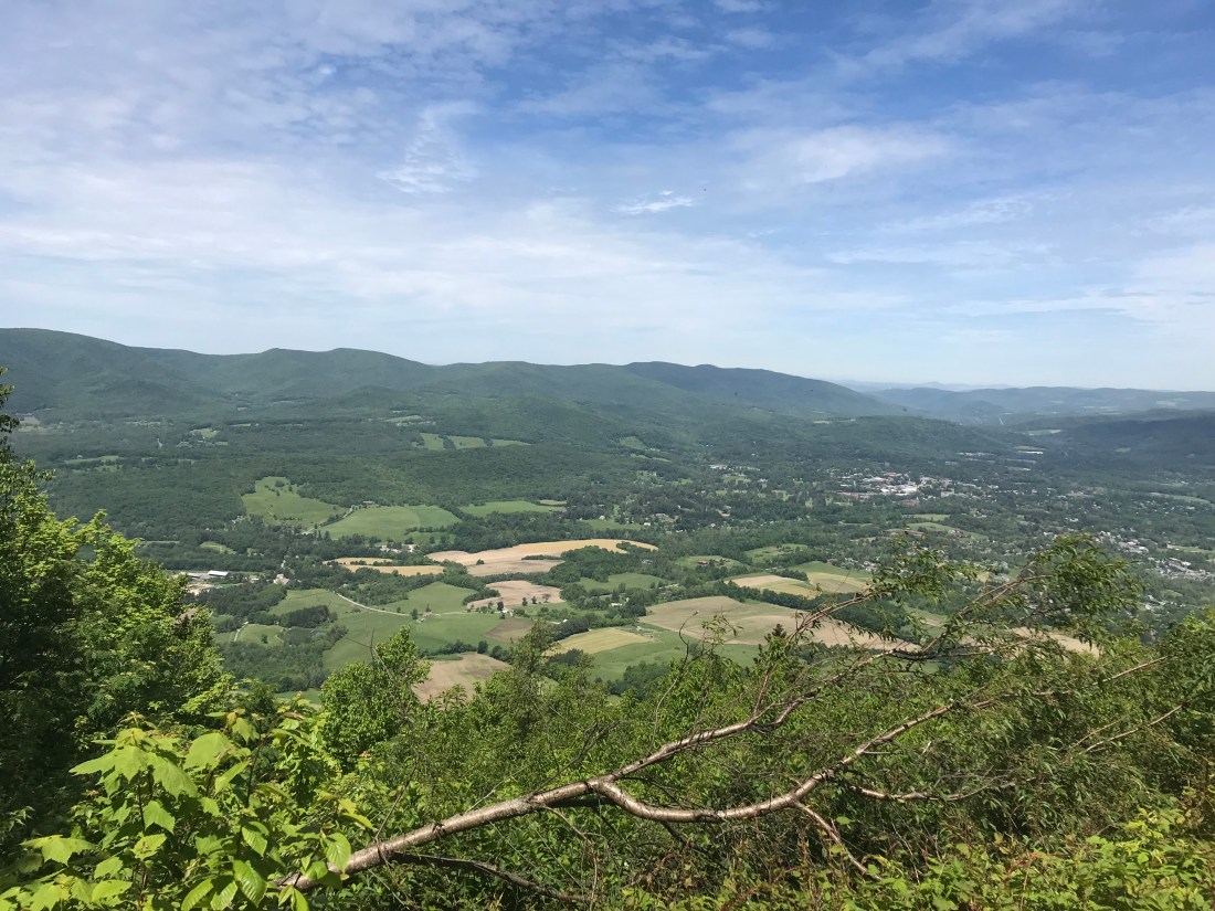
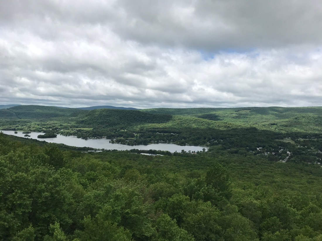
As we pass the town and head back into the woods we have a long upward journey to get us back up into the mountains. As lunchtime nears we reach our first peak of Prospect Mountain. We stopped to enjoy our lunch with a hard earned view of the town below.

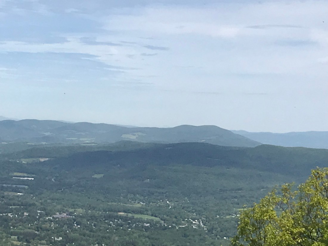
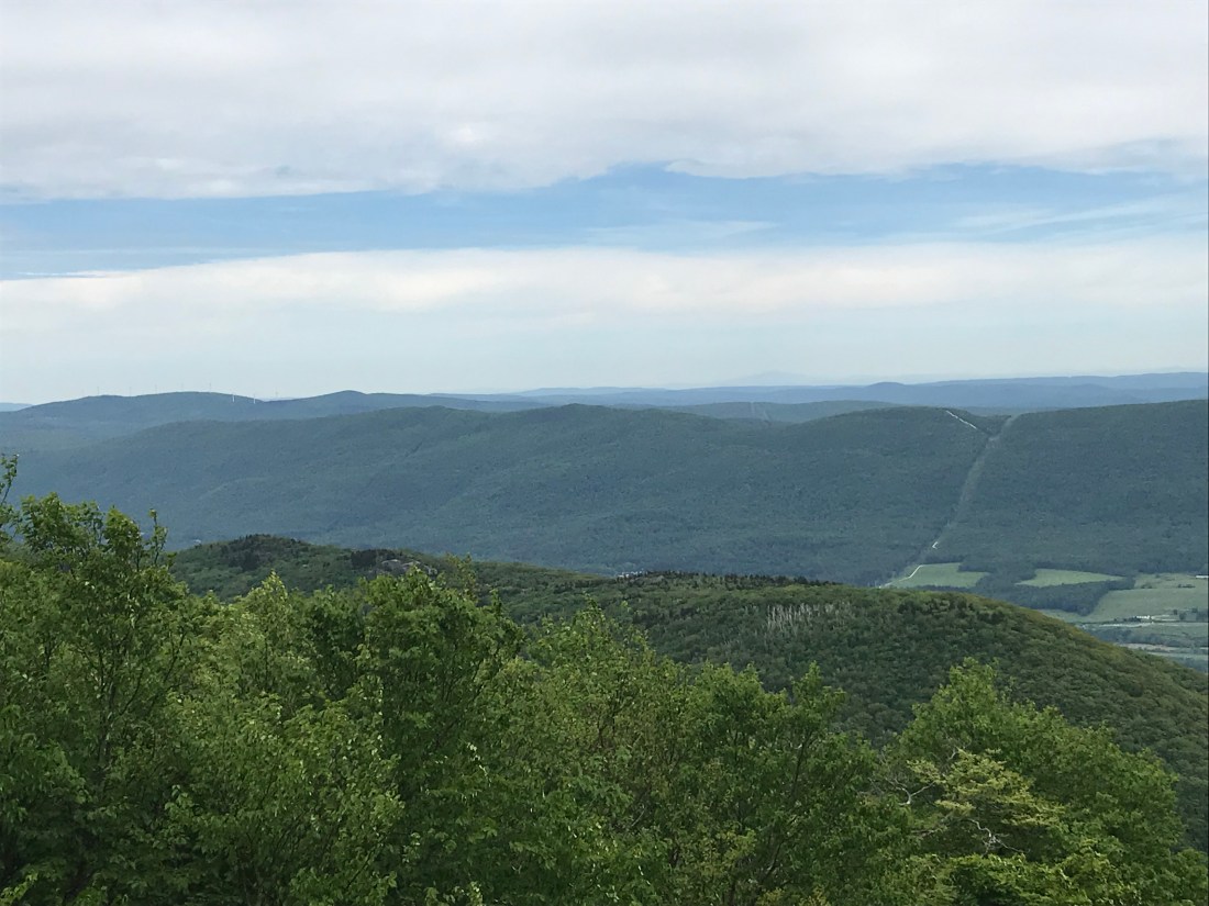
After lunch we have 3 peaks to go before we can make our decent to the shelter we want to stay at. The next is Mt William, then the peak of thunderbolt trail and then the biggest peak of MA. Mt Greylock, 3,491. There’s a lot of mountains in MA that have the big white windmills on them, so some views are definitely better than others.


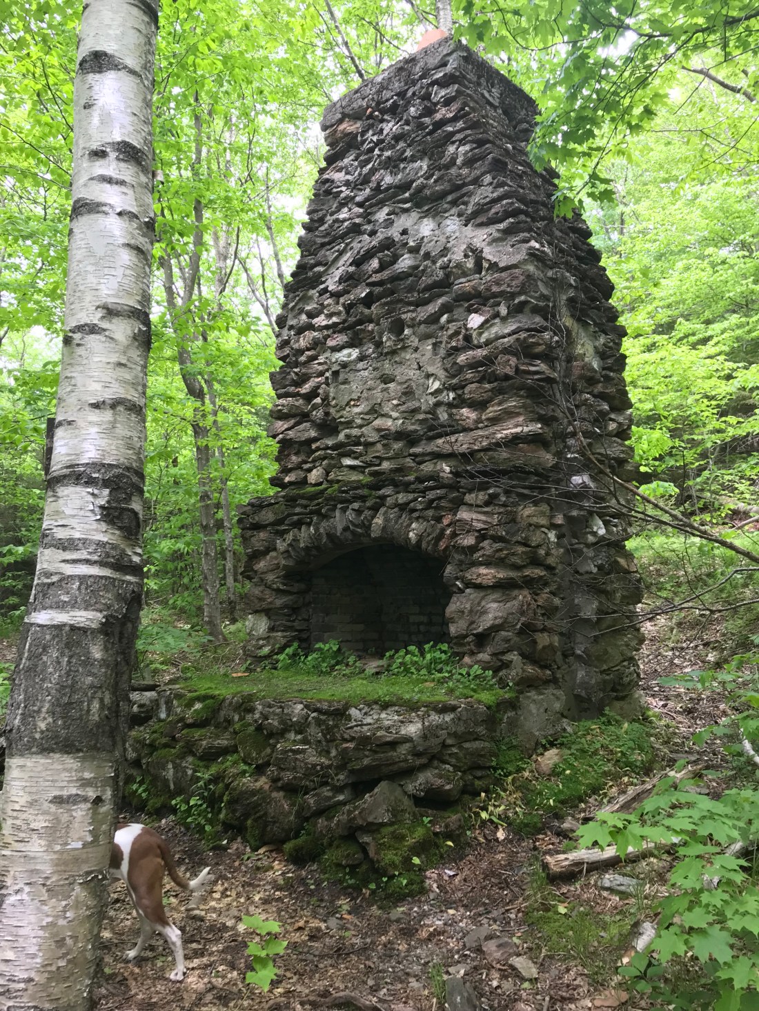
Between the peaks though we were running low on our water supply and it’s a warm day so we got lucky to find a side trail that led us down .3 of a mile where we could resupply. We hate doing extra miles, but you don’t want to chance not having water in the mountains. Down the side trail we came upon a huge chimney with a fireplace in the middle of nowhere. I wonder what this may have looked like when the home it supplied was here.
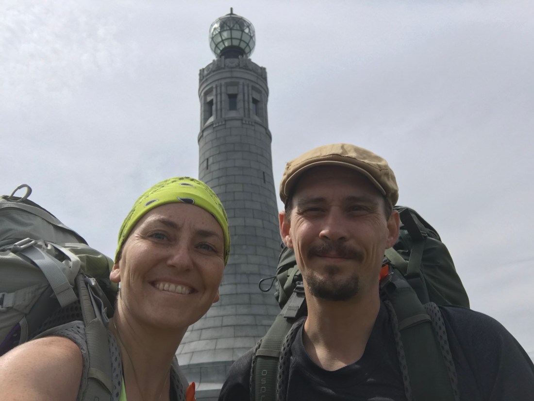
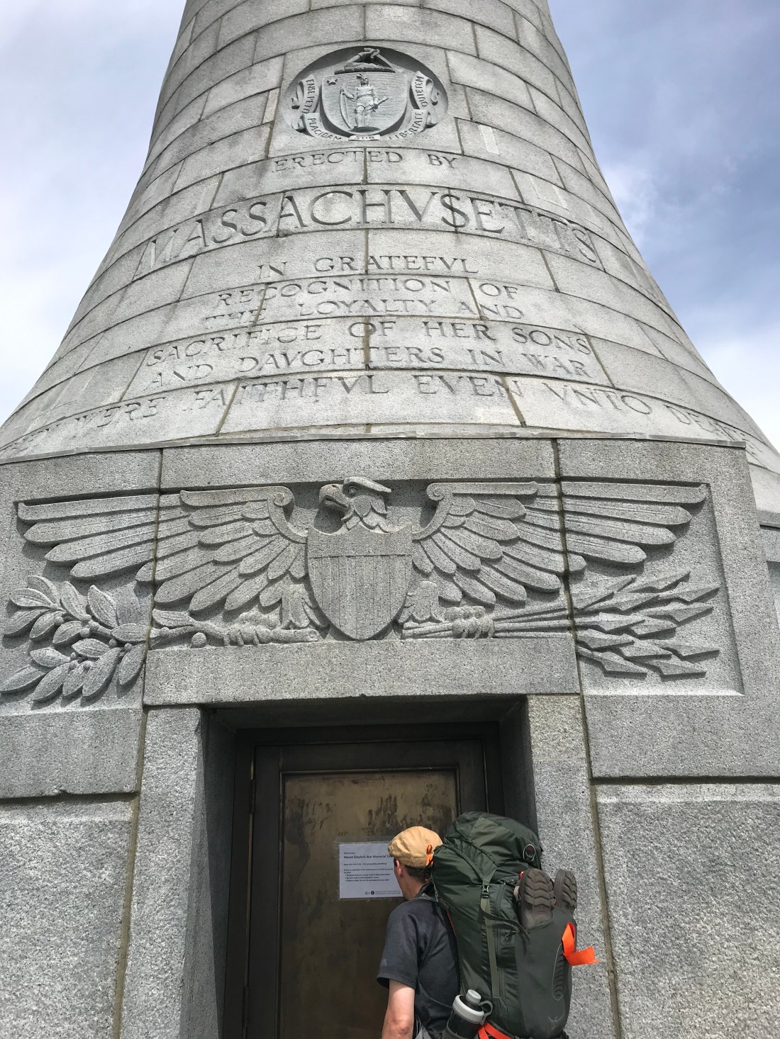
The top of Mt Greylock was stupendous. The views were very nice and there was a war memorial at the top built to resemble a lighthouse, though we thought it looked more like a chess pawn.

There was even a lodge which made lunch and dinner and had a hiker hostel, but wasn’t in full time hours of operation yet so we moved on.
We got to our shelter with time to spare before the rain came. We ended up getting another couple of gentlemen who joined us for the night and in the wee hours of the night a younger man came in and slept on the floor. It was quite a surprise to find a new person there in the morning and for Meadow to have slept through the whole thing. Great guard dog.
In the morning we hiked down the rest of the mountain and were excited to pass through the next town and be on our way to smoother trails.
Cheshire was an adorable town.


We stopped in at this little ice cream shop before getting back into the mountains and have a few hot dogs. The woman that runs the shop was such a sweetheart.
Back into the woods we shall go.

We are going back up in elevation, but are thankful we don’t have to go up as much as we did after leaving the last town. Still we got a nice view at the top of the entire mountain range we had just hiked the day before.


The rest of the day was filled with smaller ups and downs as we reached our campsite for the night. As always a welcome end to the day.

As always we write in the log book there. We write in every log book we can at every shelter we stop at and we also like to read what others have written. It’s a good idea to write in these because if anything ever happened, like going off trail and getting lost or something else, this could be helpful.
Unfortunately though that night was a rough one for me. We relaxed and had supper. Then we laid there in the tent and watched the sun leave the trees as the sun set. All seemed lovely at the time, but then my belly started to gurgle. I don’t know what it was that caused me to feel so awful, but I do know that being in the middle of the woods and feeling this terrible is the worst. Having nothing but an outhouse to sit in as the gurgling passes makes for a long and miserable night. The tummy issues did pass though and I was fortunate enough to get some sleep. I hope I don’t have to deal with that again, whatever it was.
Next morning, coffee and breakfast as usual. Then we pack up and head back onto the trail. We’re starting to feel the toll of the more rocky terrain on our legs and feet. As we hiked on this became more apparent as I now develop an issue with my other ankle. Thankfully the terrain was easy going before town though.

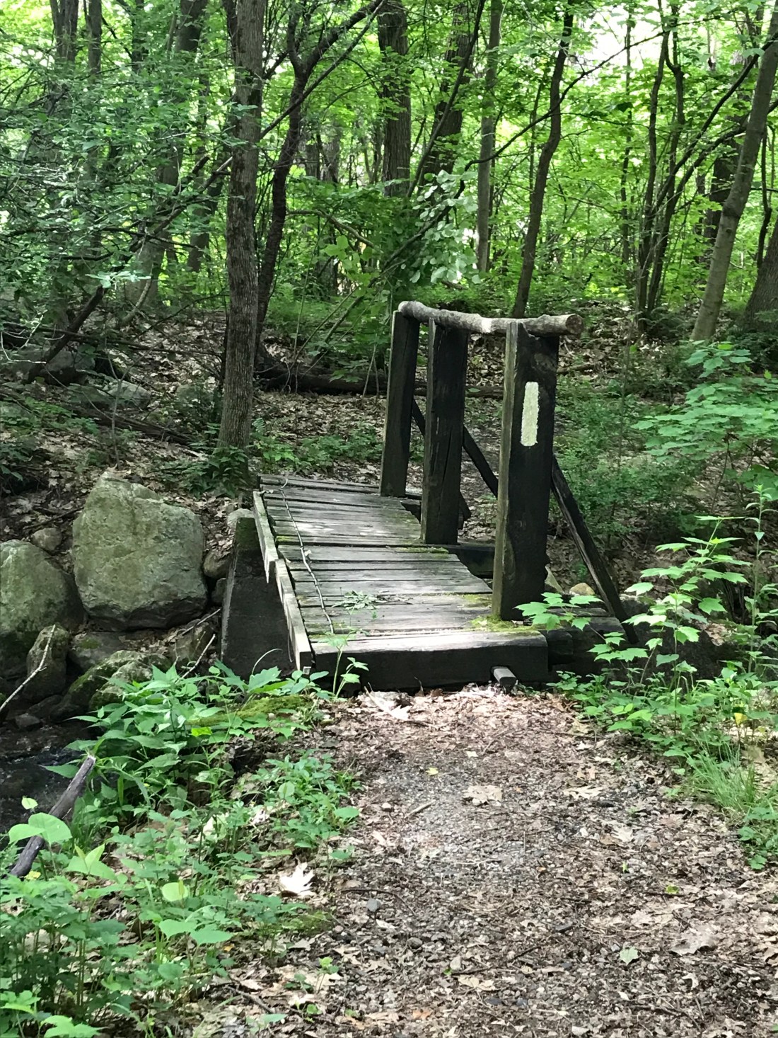
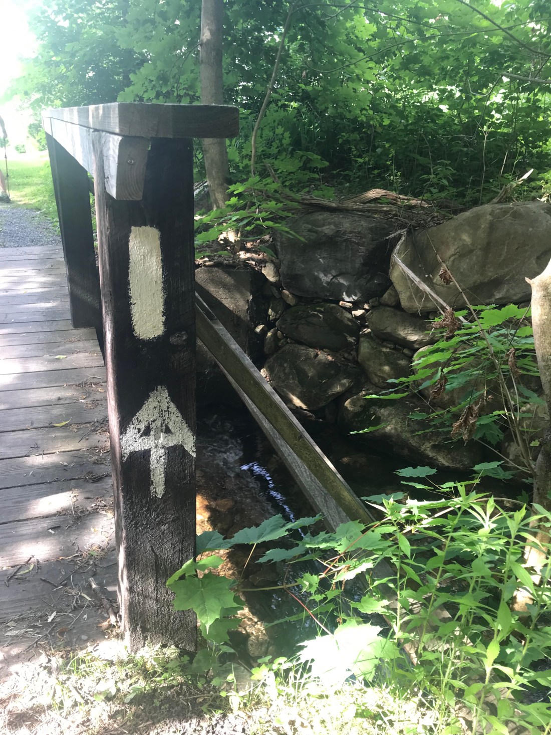
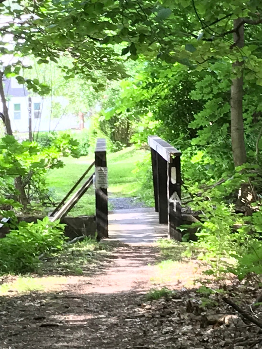
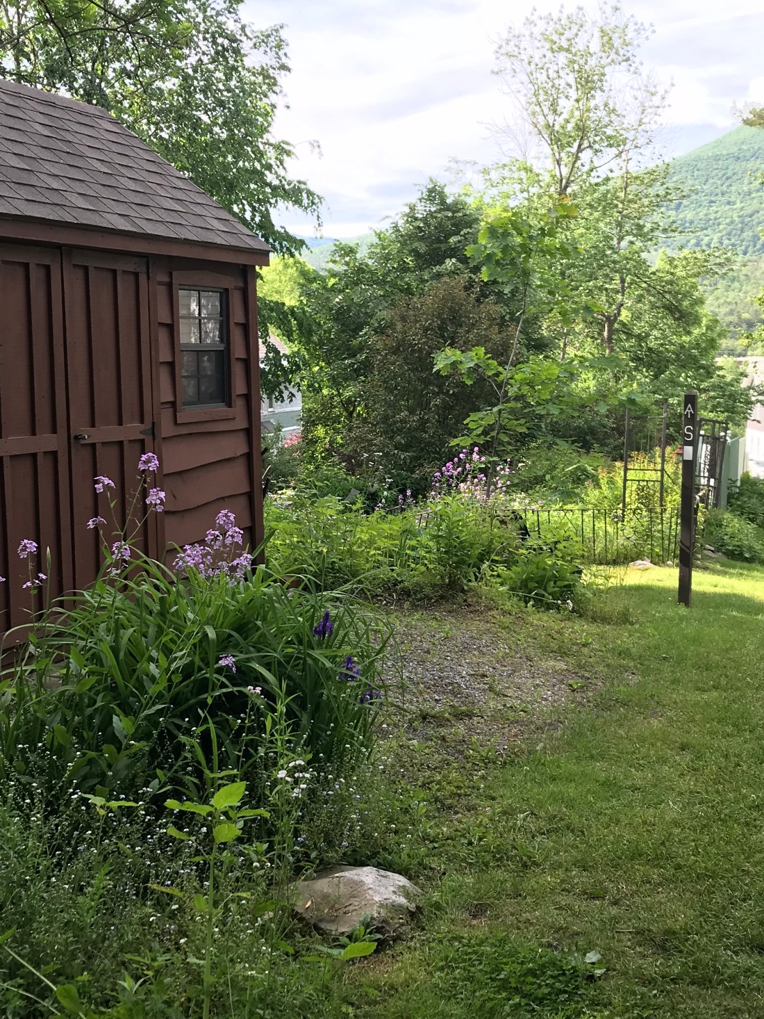
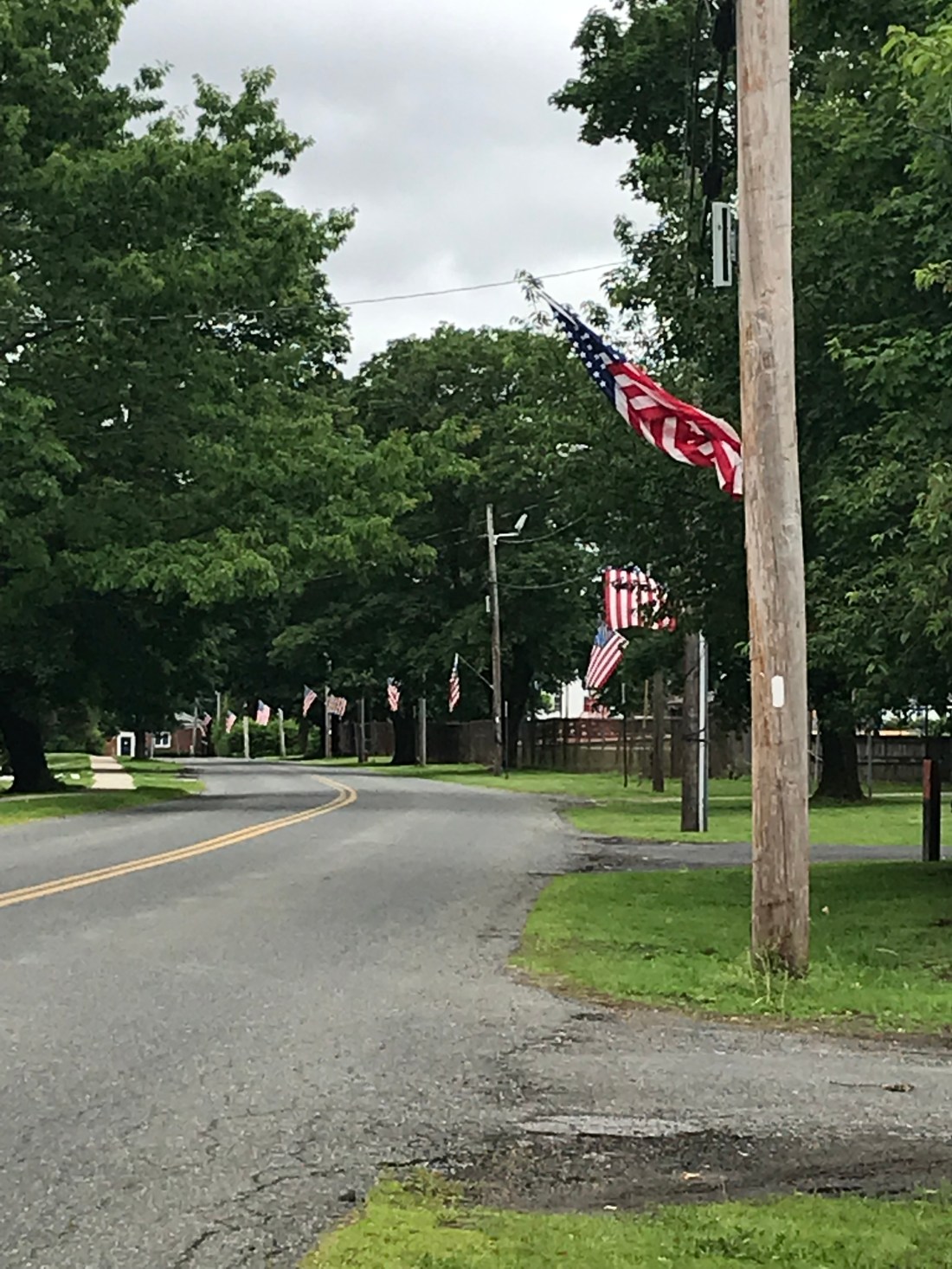
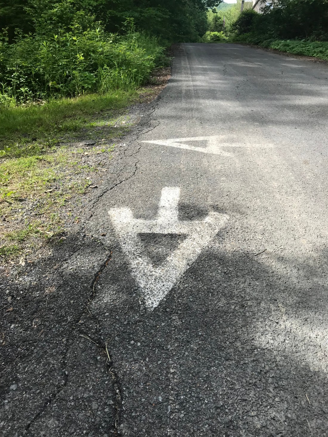
We get into town and we’re impressed with the trail marking on the sidewalks and along the way.

We’re in need of a warm shower and load of laundry so we make our way to the Shamrock Village Inn and call it a day. My ankle has now hobbled me to a constant limp, so we prepare to treat it and see how it is in the morning. The Inn owner is so kind that she goes to buy me some epsom salt and I treat it with epsom salt, ice, elevate and repeat. Repeat, repeat, repeat.
We’ll see what tomorrow may bring.
Every dollar raised directly supports people living with MS in our community, funding important programs and services and fueling research. You are helping to create a bigger impact than you may realize.
